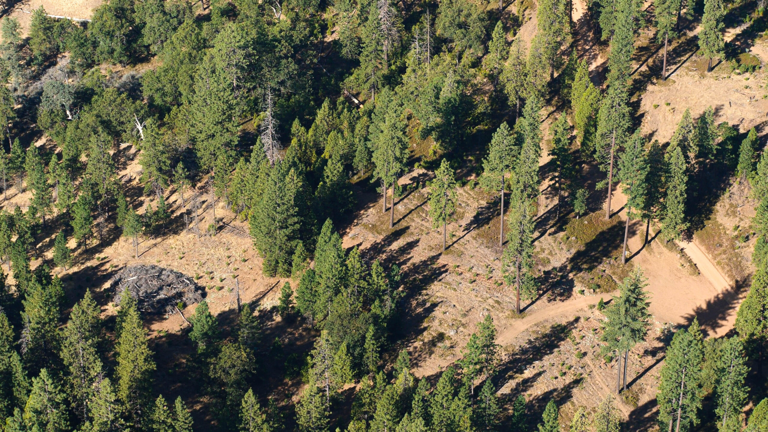
FORESTRY AND AGRICULTURE
For the first time, a complete data set of five sensors is available for forestry and agriculture.
SkyCam can fly NDVI, thermal, Ultra High-Resolution, and two video cameras with lenses of your choice. We can economically transect large tracts of land (1000’s of square miles) in a matter of DAYS. Our system allows you to sample any interval you need. Areas of interest can be resampled at closer intervals or the plane can be reconfigured for higher resolution. Data is easily shared between departments and agencies for multiple uses and is A.I. compatible.